STRIDE SPORTS / ADAM STUHLFAUT
  • Home
  • About
    • Bio
    • Professional Experience >
      • Entreprenuership & Marketing
      • RE/MAX Town Center
      • Challenge Northwest
      • Olympic View House
      • Bayside Runner
      • SHOES-n-FEET
      • New Balance
      • Gutman Conference Center
      • Consulting
      • Education, Honors and Community Involvement
      • Testimonials
    • Play >
      • Running
      • Photography
  • Coaching
    • Beginner 5K Schedule
    • Marathon 16-Week Schedule
    • Half-Marathon 12-Week Schedule
    • Runner Strong Video Workouts
  • WRITING
    • Current Writing
    • Running Through Change
  • Contact

Running Through Change

Issaquah - The Transition Begins

6/10/2014

0 Comments

 
Picture
Last week I hopped on a JetBlue flight for a 48 hour whirlwind tour of the eastern suburbs of Seattle to find an apartment that we'll call home for the first year of our lives on the West Coast.  My one overnight was at the Motel 6 in Issaquah, which is a community located west of Seattle on the southwest corner of Lake Sammamish.  I chose to stay Issaquah because it was one of three communities we were considering (we finally decided on Redmond, home of Microsoft, for convenience to my wife's job at the Overlake School).  Ironically, Issaquah is located directly off I90, so I felt right at home at the very western edge of the Mass Pike. 

The Run (map): I woke up in my motel room at about 3:30am West Coast time because I'm used to waking at about 6:30am East Coast time.  I waited until there was a little light at around 5:30 and headed out the door to explore Issaquah.  I first ran east on NW Sammamish Road.  Along the road I hopped on a bike path with a small sign, "Issaquah Trail System."  I followed that trail under a bridge and into a small wooded area behind some of the Costco headquarters buildings.

On that trail there were multiple warning signs about bears and cougars.  The trail ran right along I90 at one point, and didn't seem like the best place for bears and cougars to hang out.  Nonetheless, I'll admit the signs made me nervous, and the two deer that I almost literally ran into on a small wooden bridge over the Issaquah Creek made me jump!  You'll notice on the map link a little back and forth on the trail where I was trying to decide whether to challenge the deer for a crossing or just loop back around the the road.  You'll also notice the loop returning me the NW Sammamish Road. 

Off of NW Sammamish Road I turned on 221st Place SE and worked my way down to the Issaquah Front Street area, which is the small downtown shopping area.  Downtown Issaquah is very quaint with some notable local joints including XXX Root Beer, an old fashioned Shell Gas station, and the local running store Uphill Running (the day before I went into meet owner, Trey, and had a great conversation about the local running scene.)

Finally, at the Southern end of the shopping area, I took a right turn on Newport Way NW and worked my way back towards I90 to cross on the footbridge that led directly back to the Motel 6. 

Thought for the Day:  Our goal with apartment hunting was to find an apartment in a community that we felt we could also buy a house, and thus minimize he chances of making my daughter change schools twice in a year.  One remark made by my real estate agent as she toured me around made me laugh.  She would say, for a given community, that we could buy a house, but "it would be older, built in the 1980's."  In that market, 1980 might seem old, but in the Boston market it would be relatively young.  The house in which our Jamaica Plain condo is situated was built in 1880 -- 100 years older than the "old" buildings in the Northwest!  To me, a house with any insulation (we literally have none in our house) and wiring not covered in cloth would be a major upgrade.  Don't get me wrong, I love all the unique/antique architecture in Boston.  It's a beautiful city.  I would just like to be a little warmer in the winter. 


0 Comments

Franklin Park: Hidden Gem of the Emerald Necklace

6/2/2014

2 Comments

 
Entrance to Franklin Park off the end of Glen Road in Boston, MA - May 2014
My most recent entry about the Back Bay Fens section of Boston's Emerald Necklace park system inspired me to keep that theme and take my running to the opposite end of the Emerald Necklace to its end at Franklin Park. During the fall, the cross country course is used hundreds of time by high school, college and open runners.  It even hosted the 1992 IAAF World Cross-Country Championships. 

I was introduced to Franklin Park as a clueless freshman attending the annual Harvard, Yale & Princeton cross country meet as a member of the Princeton team.  So clueless was I, that I was partially responsible for the entire junior varsity men's race veering off course.  Luckily, I redeemed myself later in the fall when I learned from my faults and assisted in saving the majority of the varsity men at the IC4A Championship from meeting the same fate.  Since that fateful fall, I have run many races, logged many training miles, and coached high school athletes in races at Franklin Park.

Despite its popularity as a racing destination, at almost any other time it is rarely in use for recreation, outside of the occasional use of playing fields.  When I am out running in the park (weekend or weekday), I am often all by myself with miles of trails and parkland at my disposal. This park is the hidden gem of the Emerald Necklace and perhaps of all of Boston.  More on this in my Thought of the Day below.

The Run (map): I started the run at the Glen Road entrance at the Jamaica Plain side of the park.  I ran up the hill and joined the trail for the cross country course at around the 1/4 mile mark.  At this point, the course heads down hill, past White Stadium and up Bear Cage Hill.  Bear Cage Hill has an actual deserted bear cage on the top that was part of the original zoo.  Running down the back side of Bear Cage Hill, I ran past the "Giraffe Entrance" of the current Franklin Park Zoo (ironically not anywhere near the Giraffe exhibit), down the finish stretch of the cross country course, and past the finish line I crossed over to the golf course side of the park.  I followed the series of paths and roads around the course to Scarboro Pond, located on the back side of the course.  Then following the pedestrian paths away from the pond I returned to the golf course loop back to the crosswalk and then back to the cross country course.  I jumped back on the course for "The Wilderness" section of the course, which is a half-mile long trail through the woods.  Upon exiting The Wilderness, I took a left off the course and headed downhill back to my car.

Thought for the Day: The fact that so few Boston residents take advantage of the trails through Franklin Park is somewhat frustrating to me.  As I mentioned above, when I run in the park I often do not see many other runners.  The loop around the golf course gets some use, but it is largely under-utilized.  Less than a mile away the Arnold Arboretum, Jamaica Pond, and Olmsted Park sections of the Emerald Necklace are often full of people running, walking, biking and just hanging out.  These sections, however, are on the border of Brookline, which is one of the most affluent and desirable communities around Boston. So desirable that Red Sox owner John Henry has a mansion just up the street from Jamaica Pond on the Brookline side.  

Franklin Park, on the hand, is on the border between Jamaica Plain, Dorchester and Mattapan.
The sections nearest the park remain less affluent neighborhoods with large immigrant populations.  They are neighborhoods often described, by both Boston and non-Boston residents, with the kinds of stereotypes associated with the "inner city."  Because of its location, people tend to worry more about personal safety, as though around every corner there might be a drug deal going down, or a mugger hiding behind every rock just waiting for an unsuspecting jogger.  In other words, people are afraid to go to Franklin Park out of prejudice. Brookline and the "safe" sections of Jamaica Plain are mainly white, and the folks who utilize Franklin Park on a daily basis are not.  Residents in Jamaica Plain pat themselves on the back for embracing the diversity our neighborhood has to offer.  Their exercise habits, however, reflect another reality. 

2 Comments

Fenway (not the baseball stadium)

5/29/2014

0 Comments

 
Picture
I looked at the calendar yesterday and realized that I close on the sale of my Boston condo in one month. One month!  31 days! I'm running out of time!  I'm sure that I have at least 31 places that I like to run in Boston. I'll need to get running to cover all the ground that I want to cover in Boston for this blog. 

I currently do a lot of my running along the Emerald Necklace park system.  Designed by
landscape architect Frederick Law Olmsted, its course starts in the Back Bay Fens, near Fenway Park, and winds through many Boston neighborhoods, near the Longwood medical area, along the Boston's border with Brookline and finishes at Franklin Park - home to hundreds of high school, college and open cross country races each fall.  Like the Charles River, an entire loop is not in the mileage plan for me. So, I am breaking it into sections for the blog. Also, like the Charles, the Emerald Necklace parks have ample dirt paths and worn-in trails, and most of my runs in this area are on soft surfaces.  Despite living in a large city, I have many trail systems conveniently located for me to log many soft surface miles. 

The Run (map): I started this run just outside of Brookline Village, parking on Brookline Avenue next to Brookline Coal and Ice.  I ran the Boston side of the Muddy River  past Longwood to the Back Bay Fens.  Keeping the river on my left, I ran past many of the colleges and museums in the area including Wheelock College, Simmons College, Emmanuel College, the Isabella Stewart Gardner Museum, the Museum of Fine Arts and Northeastern University to name just a few. At the conclusion of the Back Bay Fens at Boyleston Street, I looped back along the Fenway Park side of the Muddy River, ran through the Fenway Victory Gardens, and returned to my car along the Brookline side of the Muddy River. 

Thought for the Day:  At the rotary in front of the Landmark Center, where Brookline Avenue, the Fenway
and Park Drive all come together in a typical Boston traffic nightmare, there is a restoration project to "daylight" parts of the Muddy River that had previously been diverted underground in a series of pipes and other conduits.  The goal is to return the river to a more natural open stream. Apparently changing the course and flow of the Muddy River through the years has created issues such as flooding that have caused property damage and interrupted train service in the nearby Fenway subway station.  In fairness to the current managers of the river and parks, much of that diverting was done the 1940's when part of the river was filled in for projects such as a parking lot near the Landmark Center (which used to be a Sears building).  My inner environmentalist is happy to know that, despite the Muddy River not being the longest, widest or most raging of rivers, it was still able to defeat the engineers and force humans to put it back to the way nature intended it. 


0 Comments

Southern Comfort

5/25/2014

0 Comments

 
Picture
While most of my east coast running has been in New Jersey and other places in the North, I have made numerous trips South for both family events and
running-specific trips. I have family in a couple locations in Georgia, and my mother spends the winter in the Florida Keys.  I also raced in Greenville, South Carolina in the NCAA Cross Country Championships in 1997; Orlando, Florida in the USATF Club Cross Country Championships in 1998; and in Greensboro, North Carolina in the USATF Cross Country Championships in 2000. 

Running while traveling is a great way to explore new places.  Last weekend, I took a short break from Boston and went South to Savannah, Georgia to visit my younger brother Nick, who is a designer for a Hilton Head-based advertising agency. Hilton Head Island just happens to be perfectly shaped like a running shoe. During this trip I went on two runs and I have the pictures for both in this post. 

The Runs

Run 1 (map): From my Country Inn hotel in downtown Savannah I ran north to the Front River waterfront area and east to the end of the boardwalk.  I returned by cutting through downtown Savannah streets, taking in the sights of the historical buildings and Savannah’s numerous squares.

Run 2 (map): This time I ran south from the Country Inn hotel through Forsyth Park, known for its fountain, and returned by cutting through side streets along the park. 

Thought of the Day: Savannah is, in my opinion, one of the most photogenic cities that I have ever visited.  Running in Savannah is challenging because I found myself wanting to stop almost every block to take a picture of a church, house, garden or other scenic location.  Check out the pictures in the galleries to the right and below.  It’s hard to do Savannah justice in pictures; you just need to see it for yourself.   If you travel to the southeastern United States, I highly recommend putting Savannah on your list. 


Run 1 - Waterfront

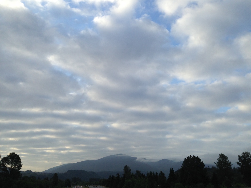
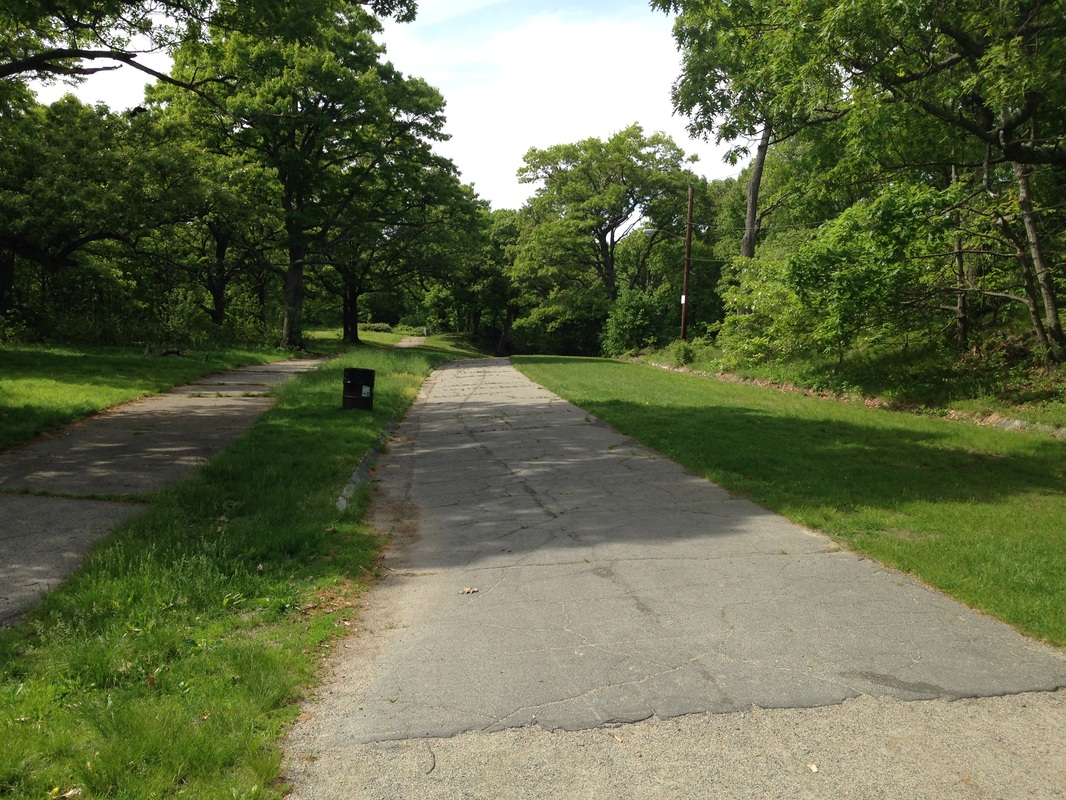
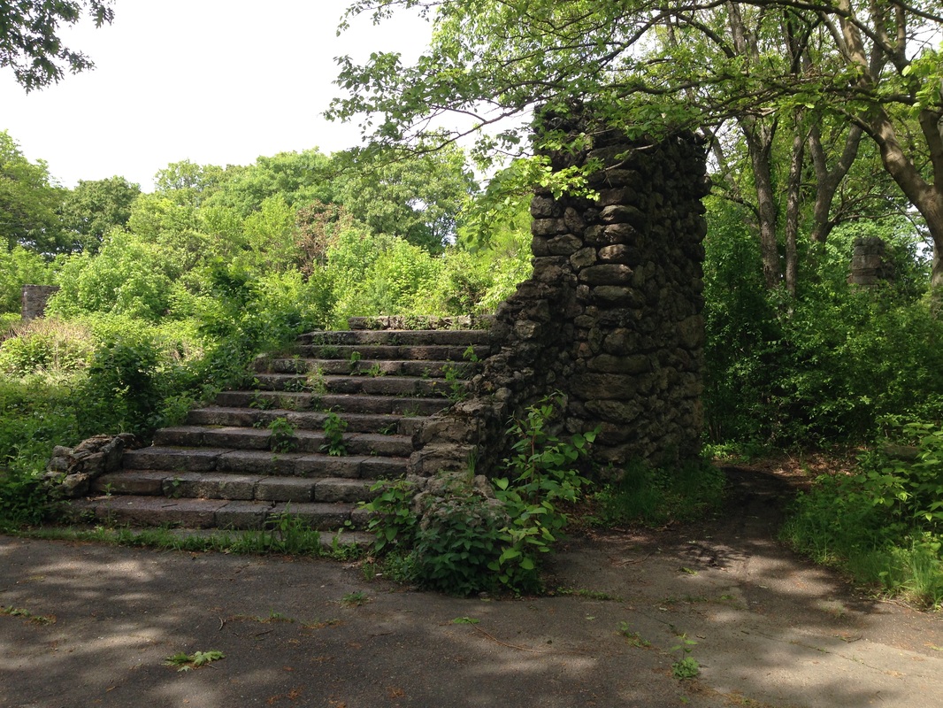
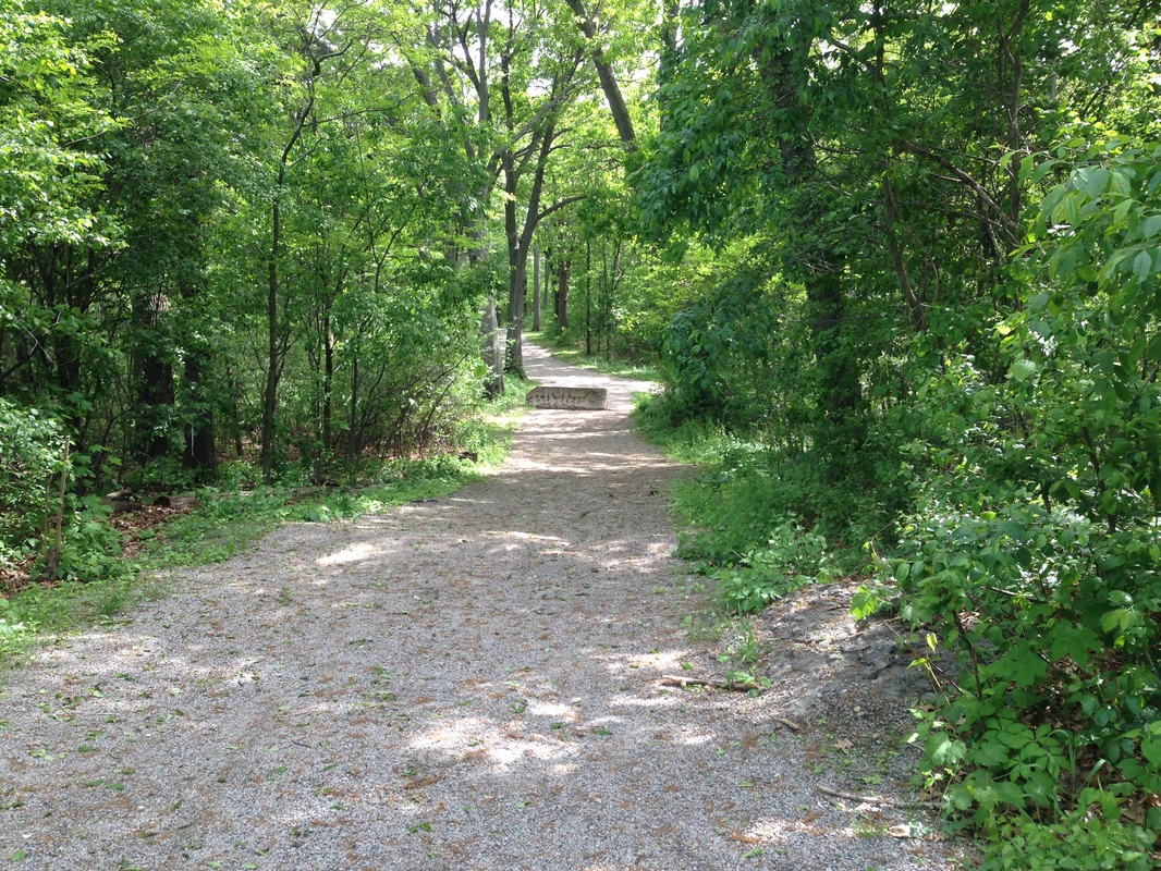
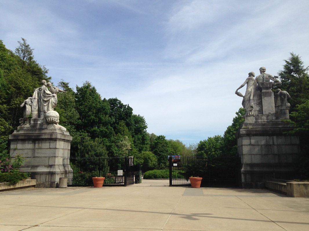
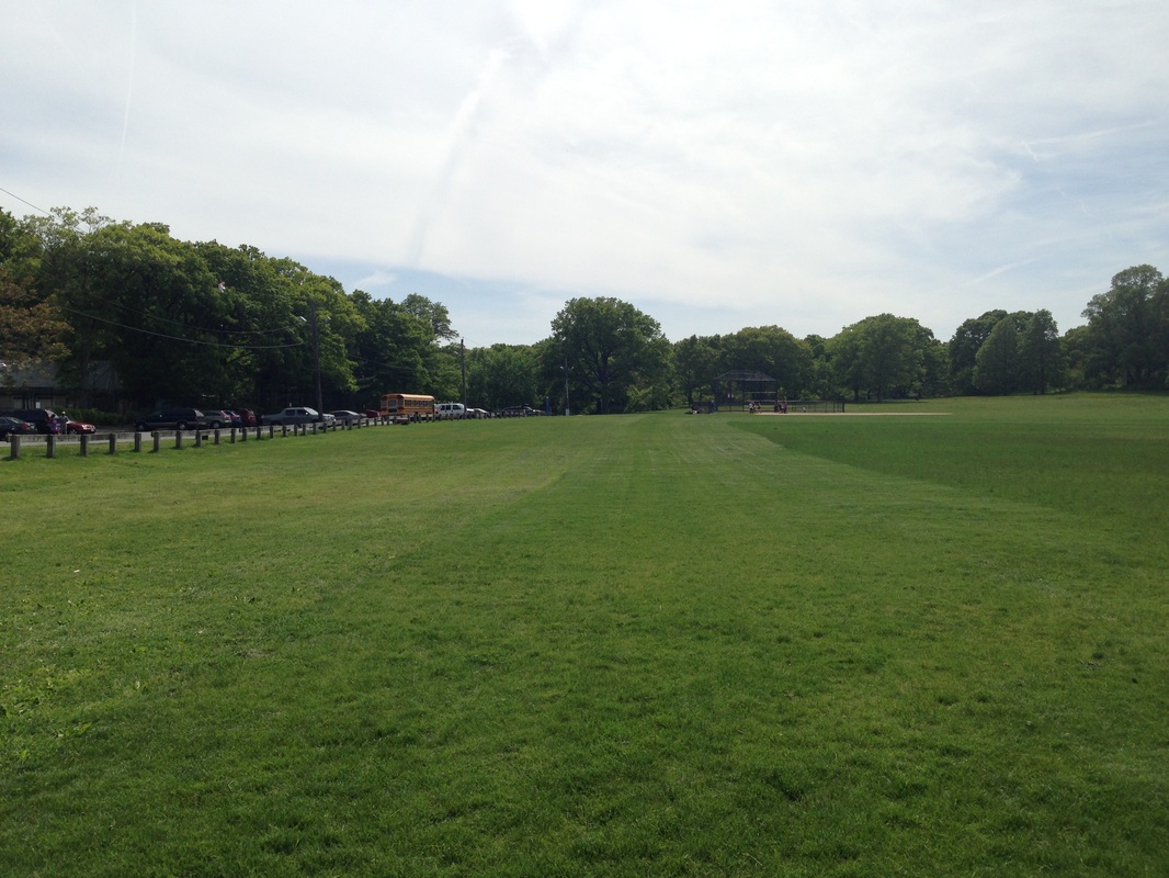
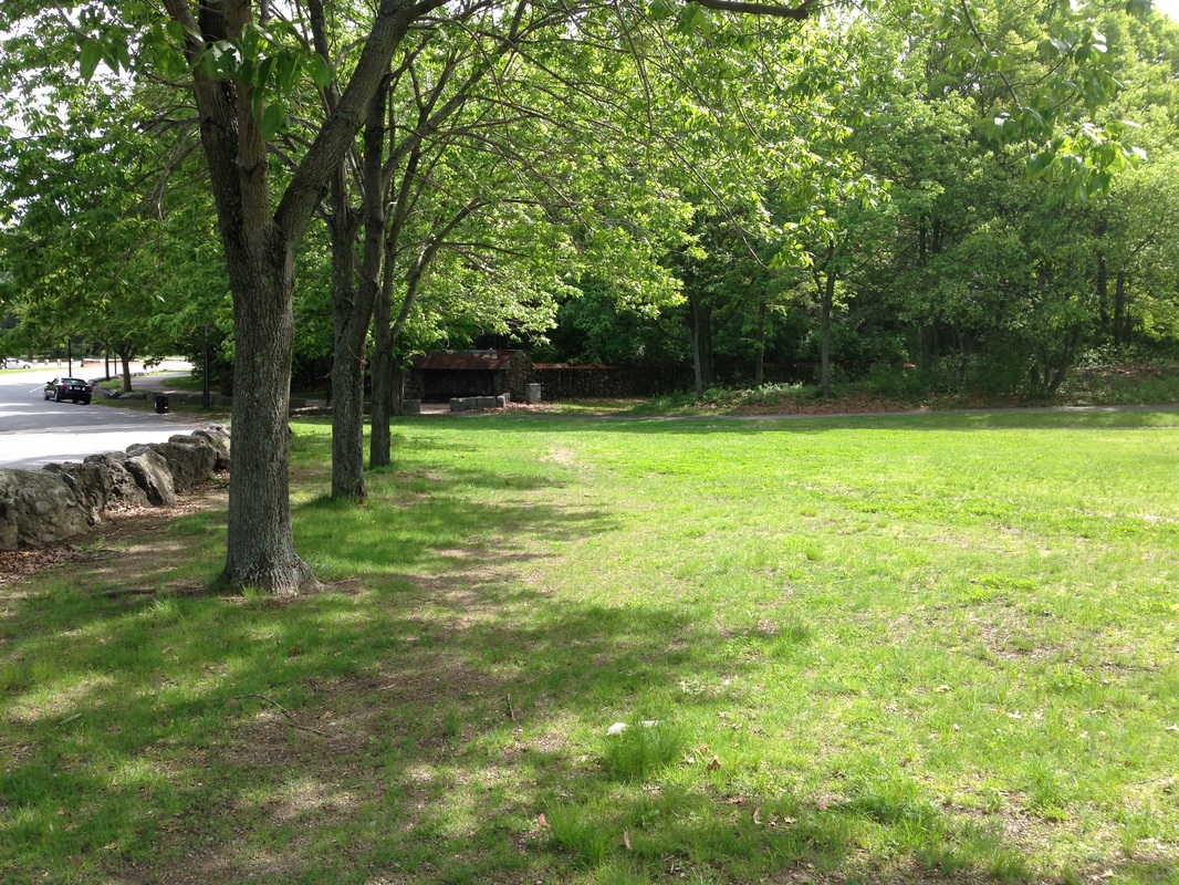
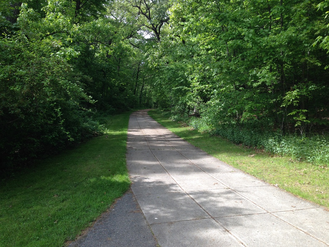
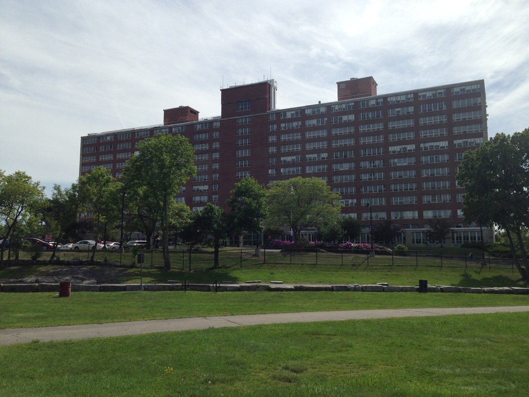
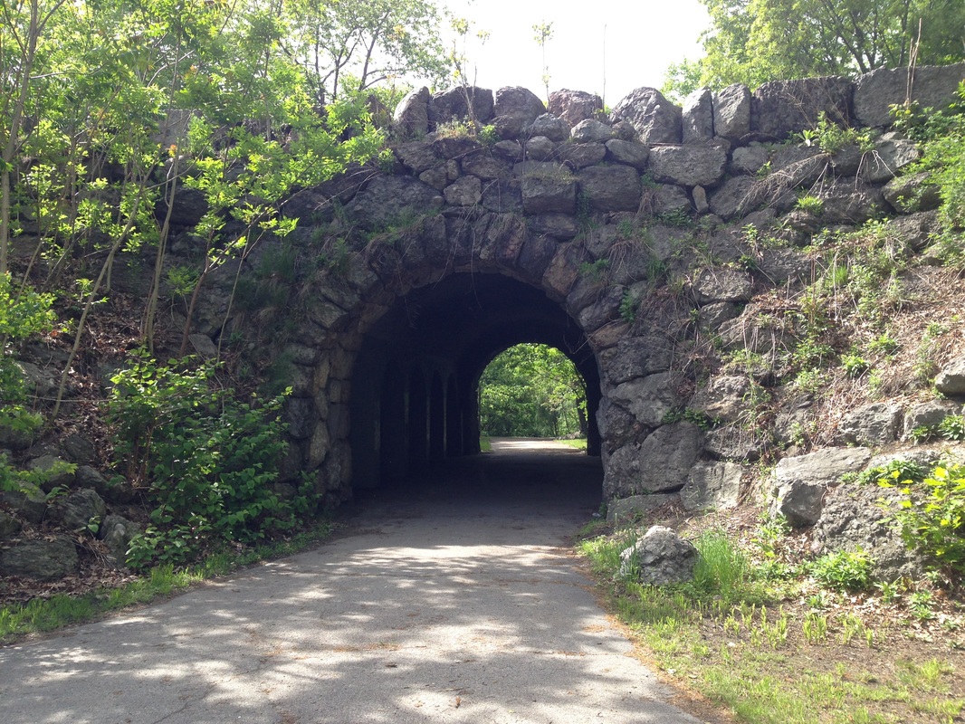
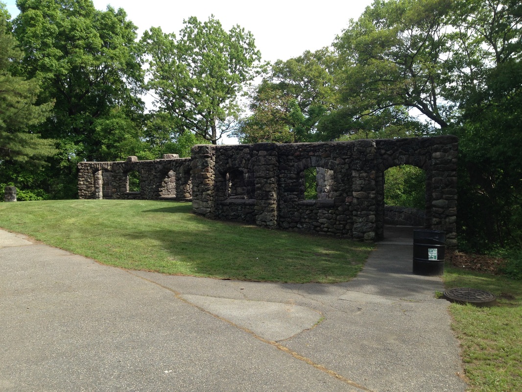
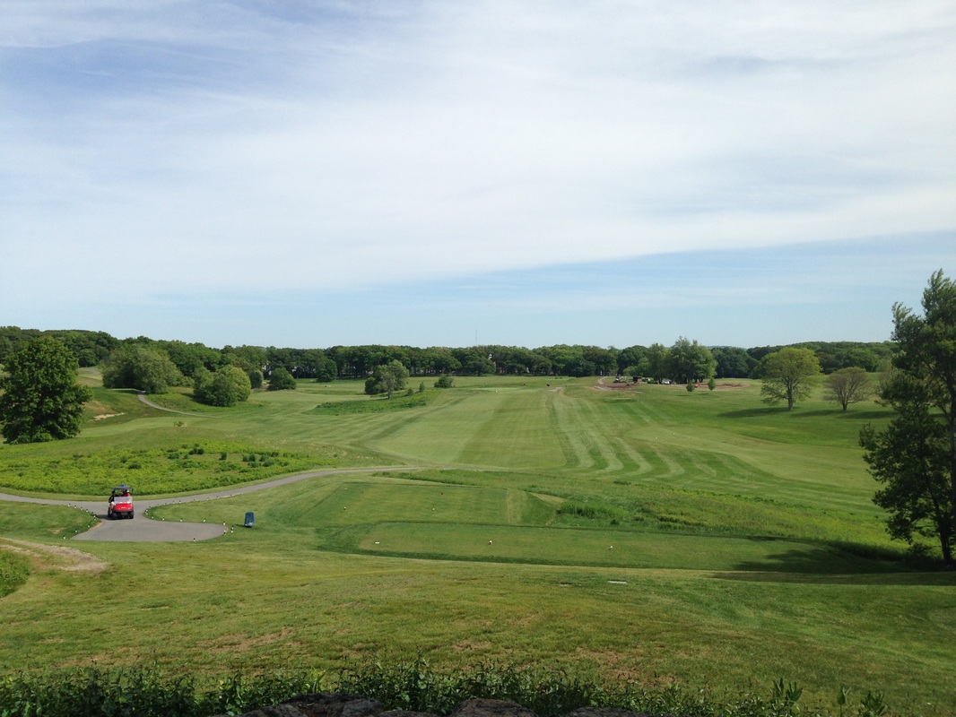
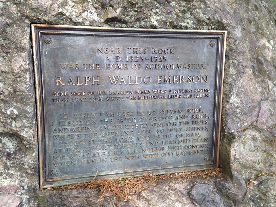
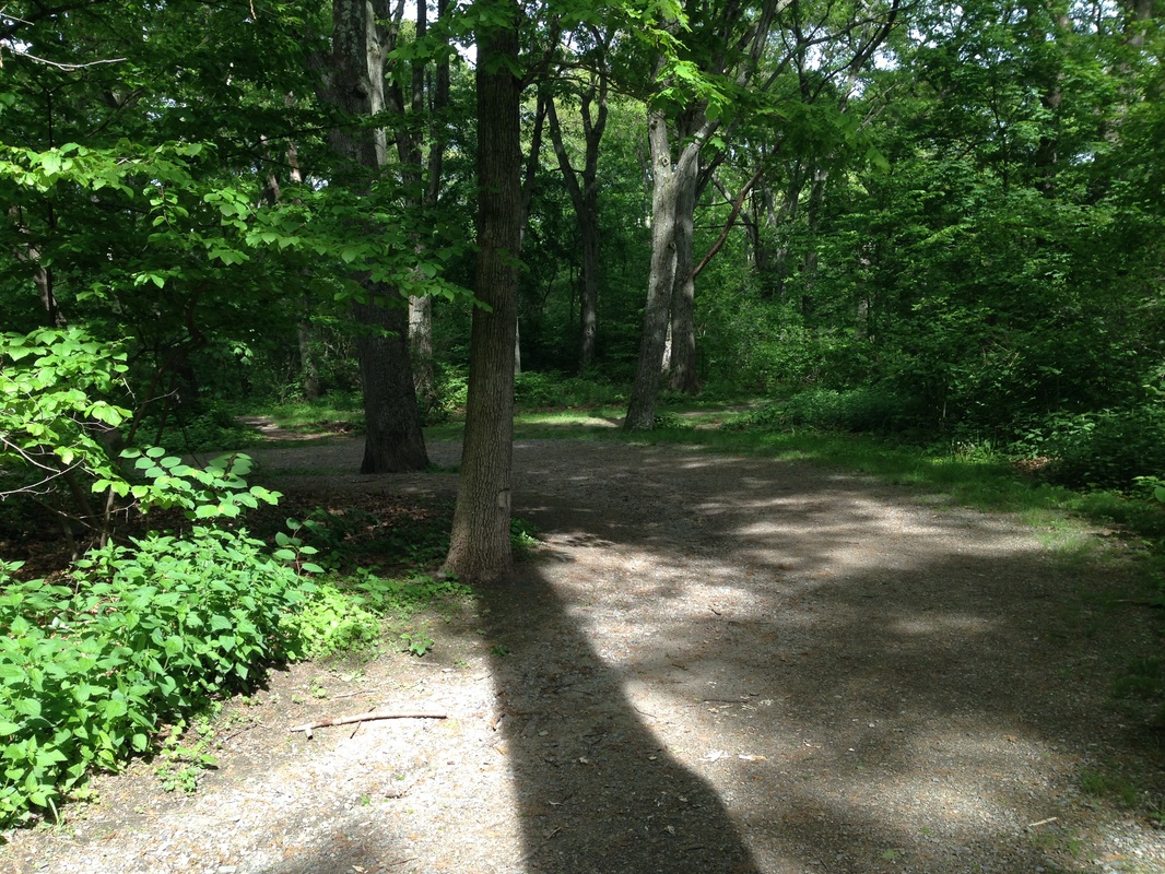
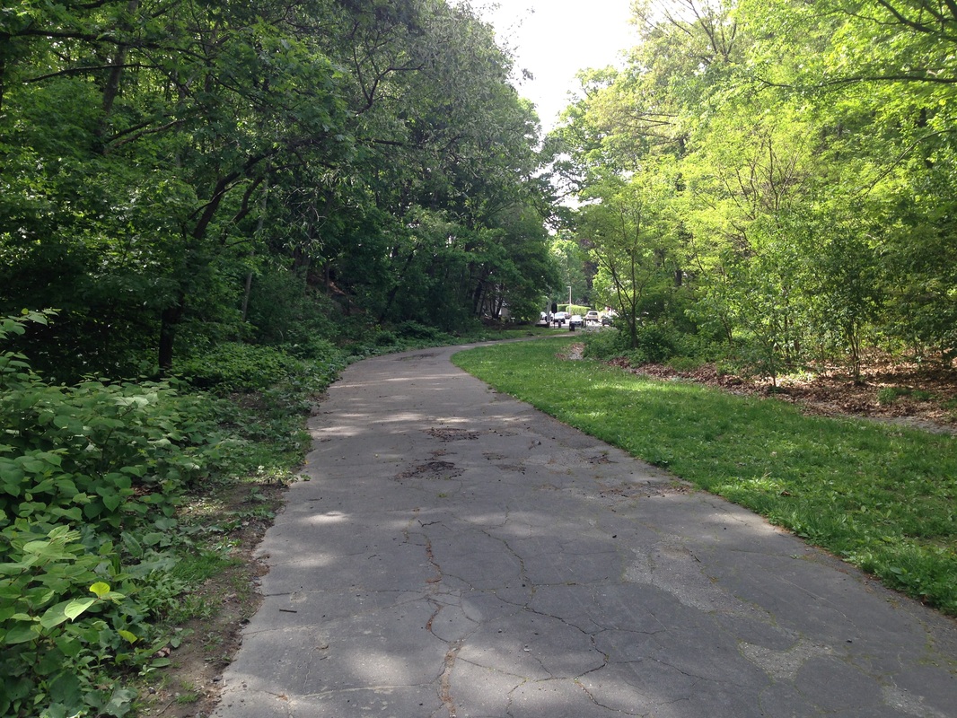
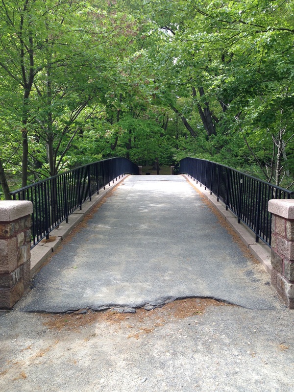
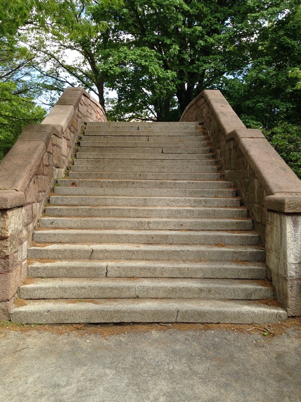
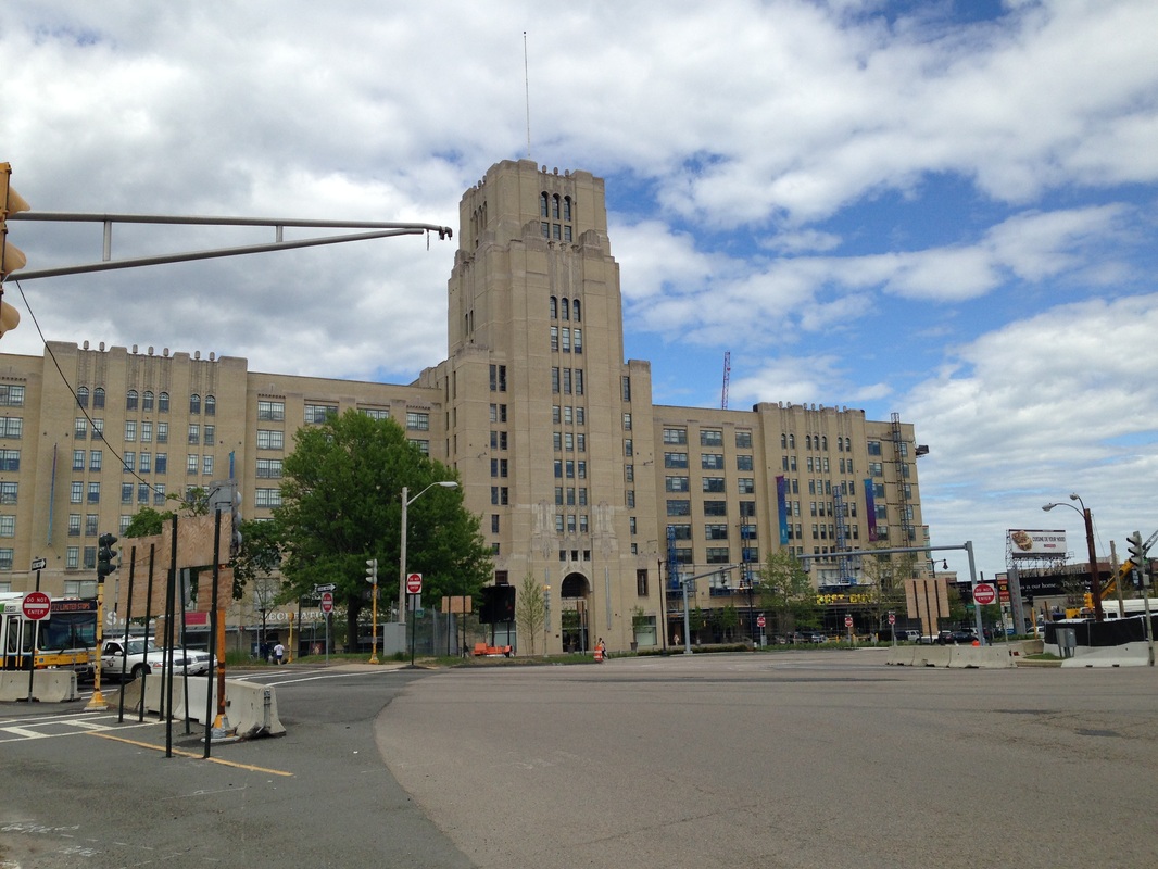
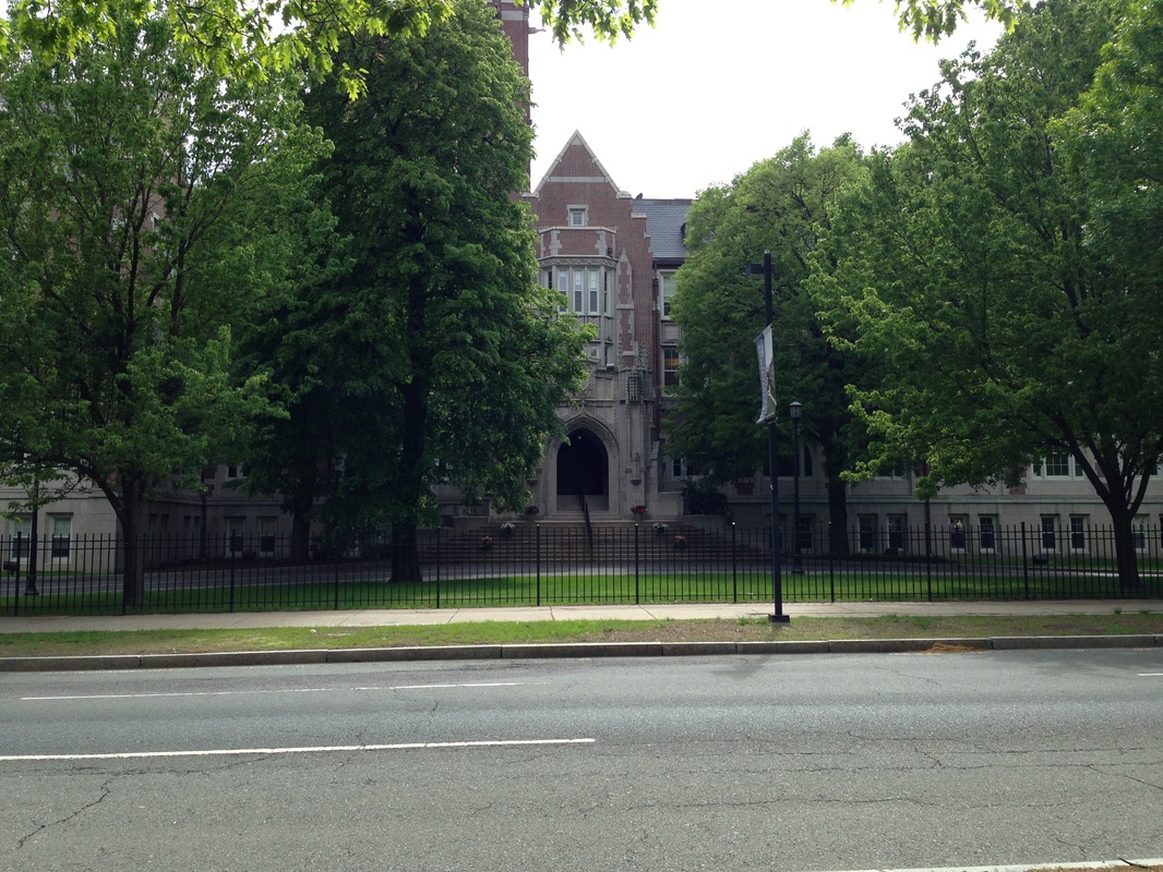
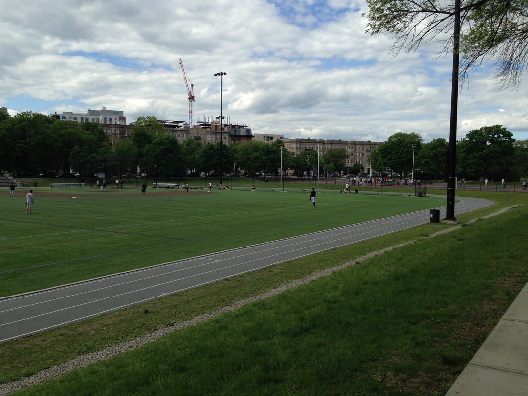
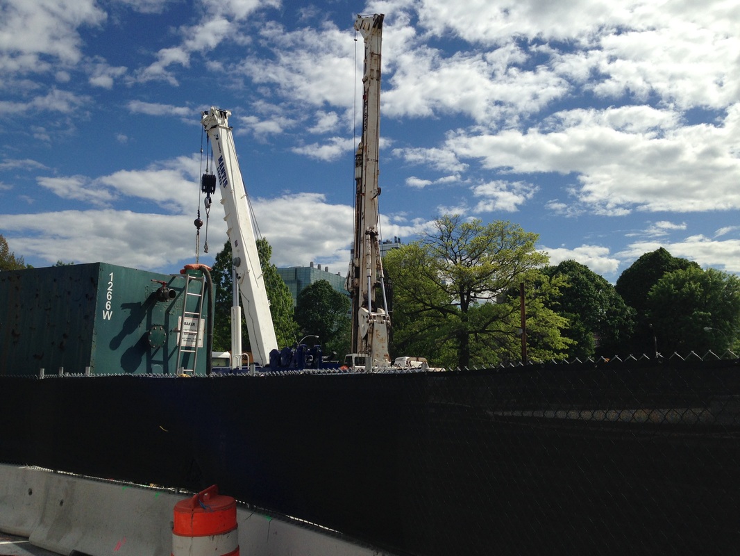
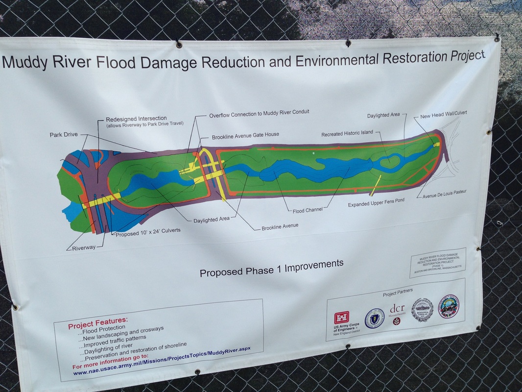
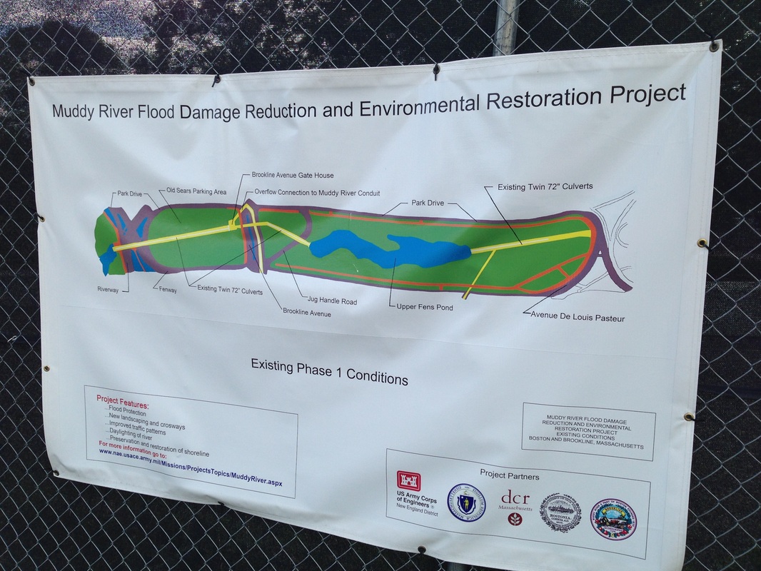
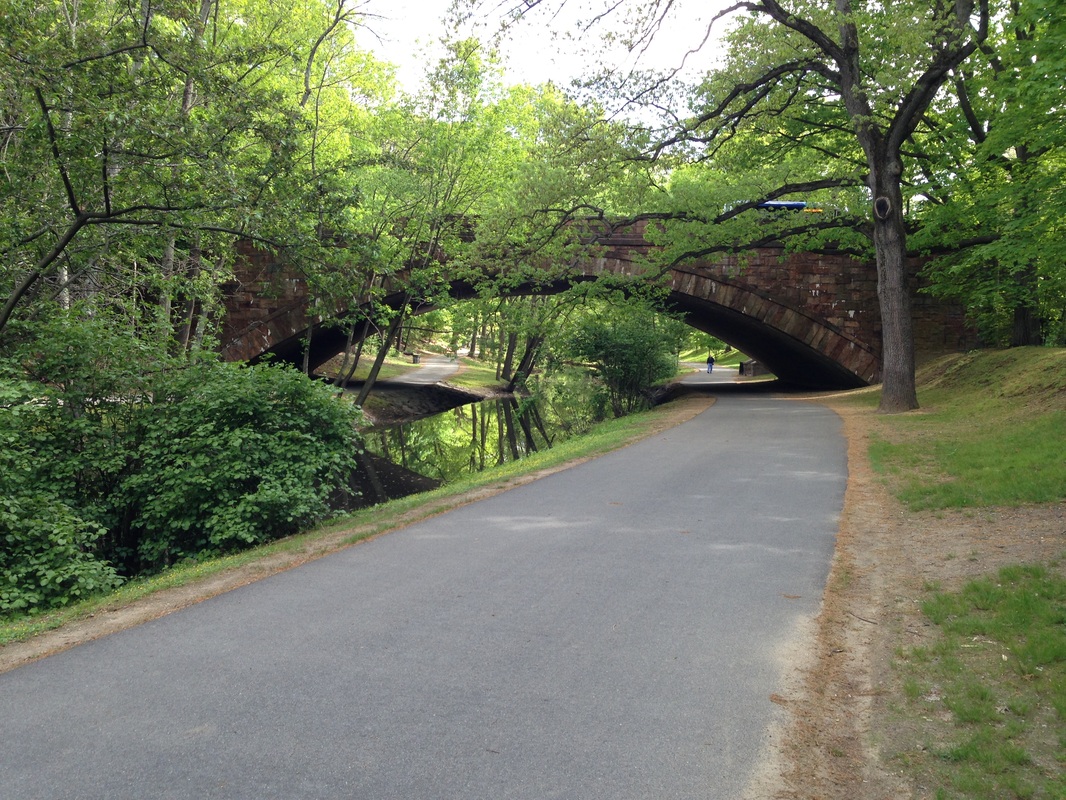
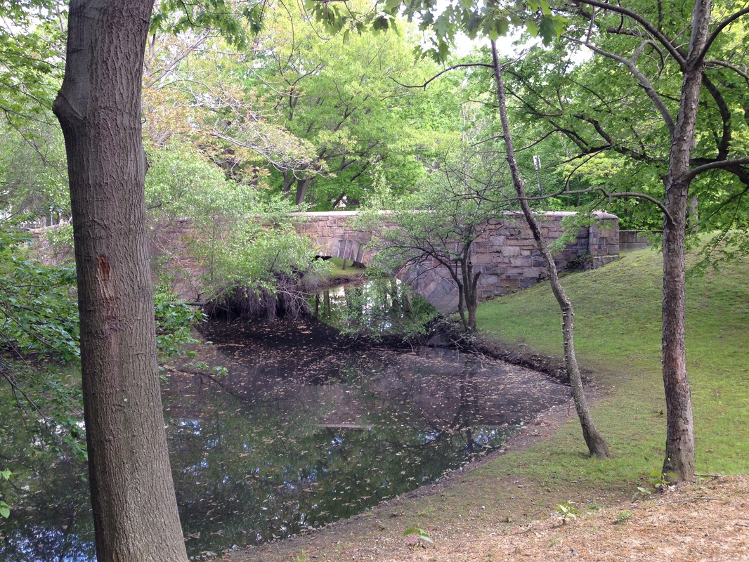
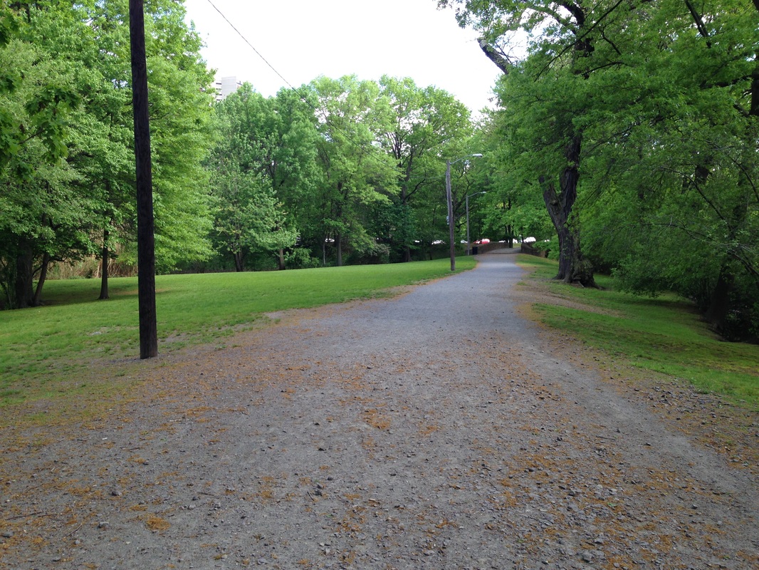
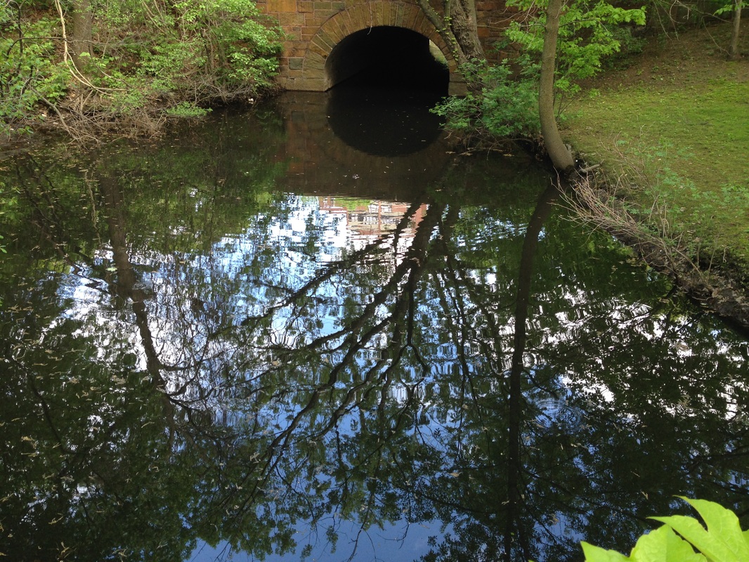
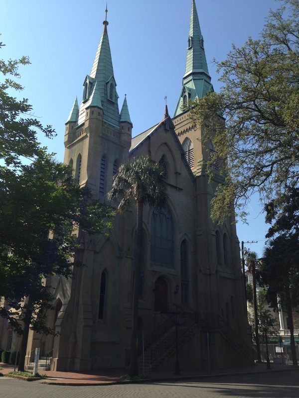
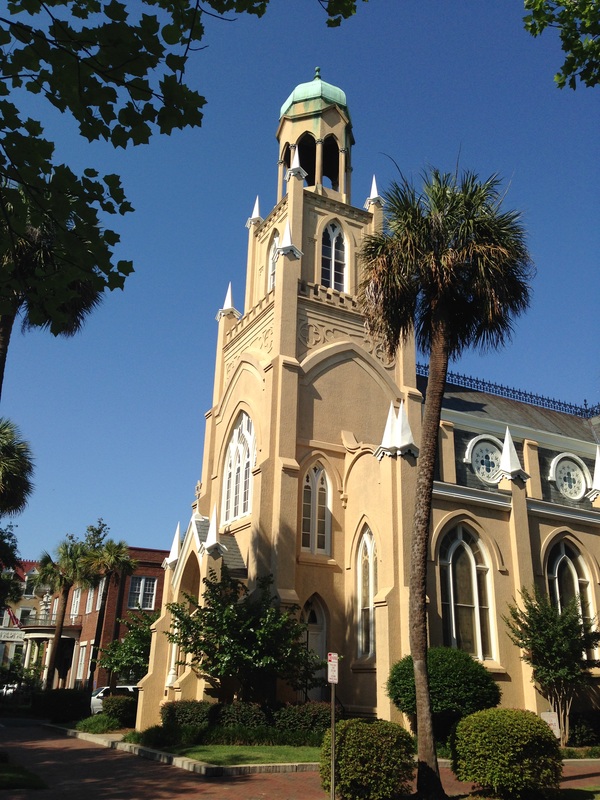
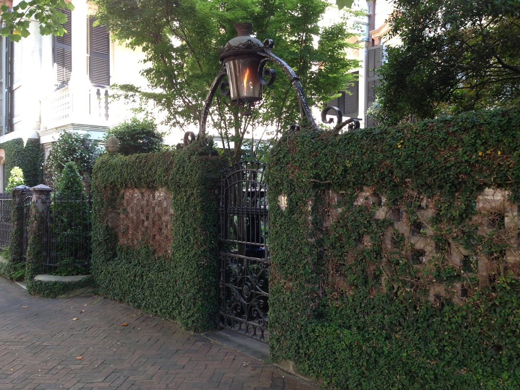
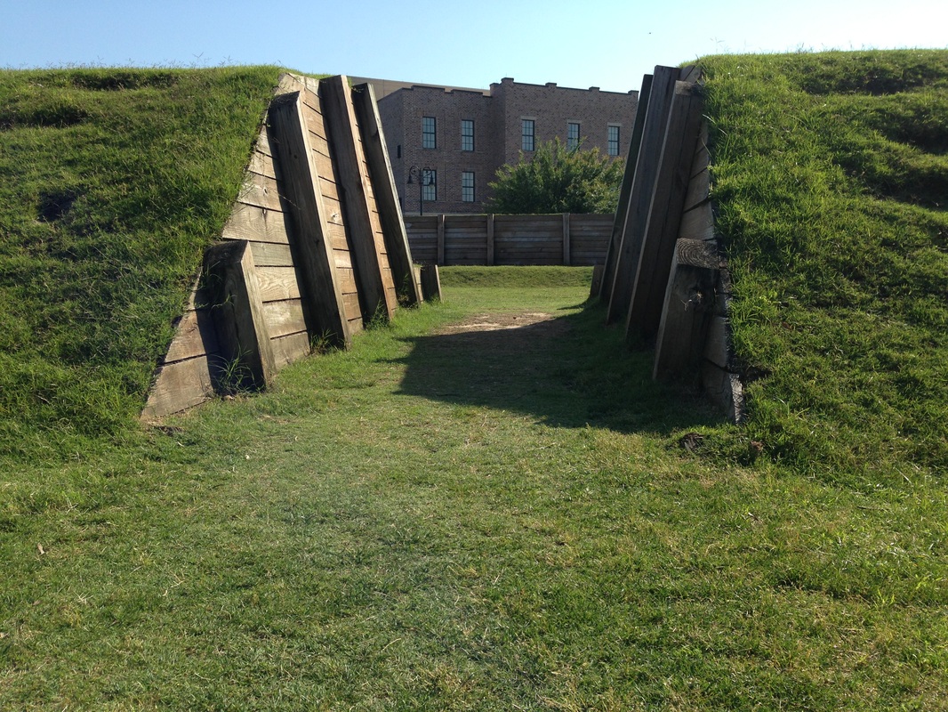
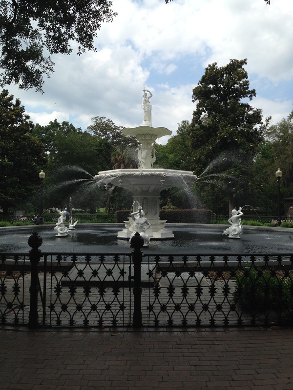
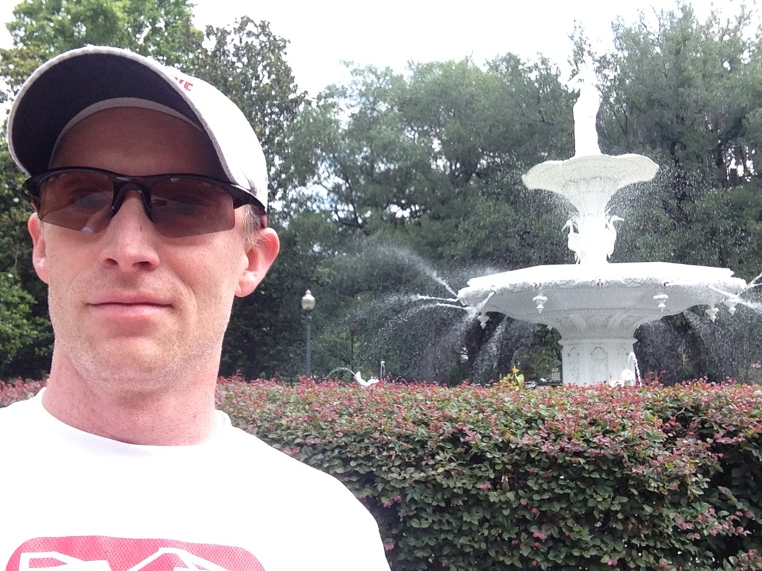
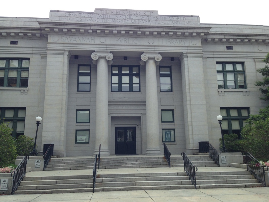
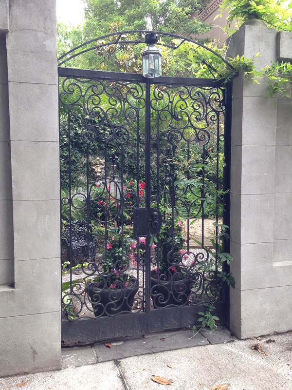
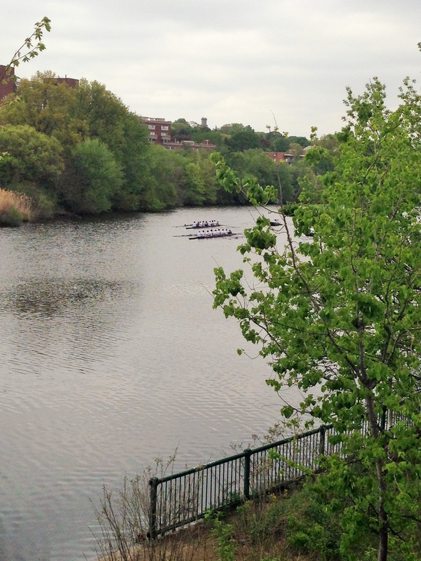
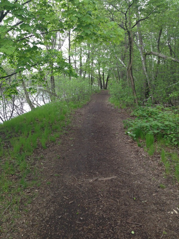
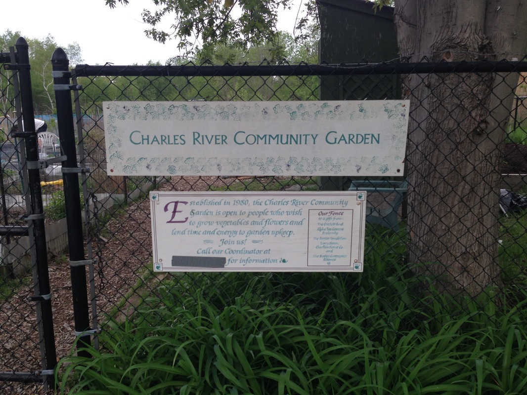
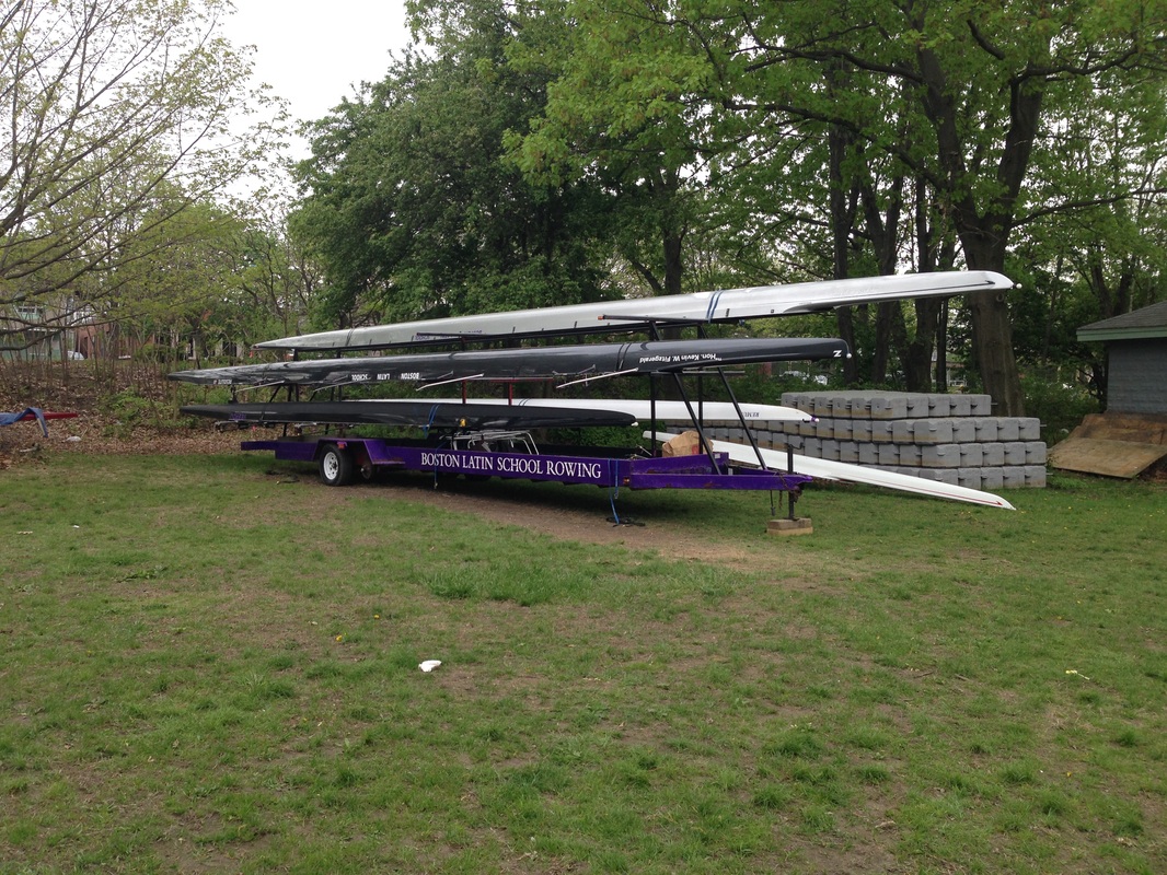
Run 2 - Forsyth Park Area

0 Comments

Charles River - BB&N to North Beacon Street

5/16/2014

0 Comments

 
Adam Stuhlfaut @ Charles River May 15, 2014
For four years, from age 25 to 29, I managed the Gutman Conference Center at the Harvard Graduate School of Education (HGSE).  That time was extremely significant in my 16 years in Boston.  I met and married (eloped with!) my wife, moved briefly out of Jamaica Plain to Watertown, and switched career paths from considering a Masters in Divinity to a Masters in Business Administration.  Actually, coerced into applying to business school would be more accurate.  The then-Administrative Dean at HGSE told me one day, “Apply to business school or I’m going to fire you, so you have no choice but to go back to school.”  I had no choice.

For those four years I pounded lots of miles along the Charles River.  The Charles River is 80 miles long, and like the Boston Marathon, its course runs from Hopkinton to Boston; it just takes a slightly different route.  The Charles River's course is conveniently located about four blocks from former my office at HGSE, and my employer conveniently allowed me work my day around my ten mile runs along the river. I could go east to the Science Museum or west to Watertown Square; each loop is about 9.8 miles.  The nice thing about the route west to Watertown is the network of worn-in dirt trails that run alongside the asphalt paths; there are also some nice stretches of planned dirt paths.  This enabled me to get about six or seven miles of my 10-mile run on soft surfaces, which left me feeling a little less beat up with all the miles I was attempting to run. 

The Run: Since I am not doing the mileage that I used to log on the river, for this blog I am breaking my runs on the Charles River into bite-size pieces.  I started my run (map) from the well-known prep school, Buckingham Browne & Nichols, where my wife has been a History teacher for the past ten years. From BB&N,  I ran west on the Cambridge/Watertown side, crossed over Arsenal Street and turned around at the North Beacon Street bridge to head back on the Boston side.  Along the Boston side between North Beacon and Arsenal there is a view of the New Balance headquarters where, for a brief time, I worked as a footwear product manager. During nice weather, crew teams train out of boat houses up and down this section of the river.  One of the best times to run is just at sunrise, when all you can see are little lights attached to the tips of the crew boats.   

Thought for the Day: I chose this section of the river because I wanted to snap a picture of the inspirational graffiti under the North Beacon Street bridge that reads “Drop the Hammer”, meant as an inspiration to crew teams passing underneath the bridge. I always liked the phrase “Drop the Hammer.”  In running “dropping the hammer” means to lay it on the line, give it all you’ve got and run hard ‘till you can’t run any longer.  One can “drop the hammer” on an opponent by ending the race with a furious sprint that leaves the opponent in the dust.  One can also just simply “drop the hammer” out alone on a distance run, and just hammer for the pure enjoyment of it. 

To track my distances for this blog I am wearing a GPS watch; however, wearing a GPS watch makes me focus too much on the watch, and too little on my body. I’m always checking it for pace, distance and whatever wisdom it is supposed to provide, which takes away from what I love about running -- just getting out and enjoying being one with “The Run.”  When I am in really great shape, and in tune with my body, I can tell you with relative accuracy my pace. Plus, the GPS watch has no reading on how I feel physically, emotionally or spiritually about my run.  No machine call tell me when to "drop the hammer" because "dropping the hammer" is a gut feel. It's knowing how much is left in my tank to get me to the finish line, what pace I need to run to not exhaust the fuel, and, despite that knowledge, pushing my body faster, and faster and faster.


0 Comments

the prequel

5/14/2014

1 Comment

 
Adam Stuhlfaut @ Portland, ME Waterfront - May 2014
I actually did two runs in Maine during my trip to Bangor. Since I'm using my run in Bangor as my symbolic starting point for my move from Boston to Seattle, this post is a little out of order - thus the "prequel" title.  Nonetheless, Portland is one of my favorite places to run in New England. 

THE RUN: For this 7.3 mile run (map), I parked my car near the Maine Narrow Gauge Railroad Co. & Museum.  The Narrow Gauge Railroad has a short tour along the East Prom Park and is a favorite ride for my kids. I followed the foot path that parallels the narrow gauge train tracks and runs along the East Prom Park. East Prom Park provides spectacular views of the islands of Casco Bay, including Mackworth Island, which home to much of the Maine fairy population.  At the end of East Prom, I connected to the Back Cove Trail and ran the 3.5 mile loop of the Back Cove. The back side of this loop gives a nice view of the Portland skyline. Finally, I returned to my car through the East Prom Park. 

Check out some of the pictures in the gallery to the right. Included in the gallery is a curious bit of running graffiti on a light post in the West Prom Park, where I drank my post-run coffee, ate a chocolate croissant from the can't-miss Standard Baking Co. and enjoyed westerly views of unnamed mountains in the distance. 

THOUGHT FOR THE DAY: During the route around the Back Cove, I noticed runners with race numbers pinned to their running clothes that read "New England Challenge."  I asked one of the runners that I passed about it, and he told me that it is an ultra event that includes 5 marathons in 5 days. This day's marathon was actually 7 loops of the Back Cove.  The start was at 5am, and most of the athletes still out there at around 12pm were some of the older competitors, including the nice gentleman with whom I spoke. It was a good reminder of one of the great things about running, which is its universal accessibility to participants regardless of age, gender or other categorical identifier. If you are 80 years old and want to get after 5 marathons in 5 days, you are entitled to do so! 

1 Comment

Go East to Go West

5/14/2014

0 Comments

 
Adam Stuhlfut Along the Kenduskeag Stream trail - May 2014
I woke up yesterday morning in Bangor, Maine.  It occurred to me that with my upcoming family move to Seattle, which is about the furthest west point in the continental US, I was starting my day about as far east as I could reasonably expect to travel. I was in Bangor for the funeral of my friend Vincent Cote.  For six years I traveled to Bangor often with Elizabeth, my then-girlfriend and Vince's daughter, and I logged a ton of miles in and around Bangor from the summer of 1997 to the spring of 2003.

Today, I am married to the love of my life, Amanda, and we have two wonderful kids: Anna (6) and Max (3).
We have traveled to Maine many times with our kids. In fact, our travels to Maine are part of what inspired our move to Seattle.  My wife and I wanted our children to be raised in a place that had access to many different types of outdoor activities. The Seattle area, with its lakes, Puget Sound and many mountains is an ideal place to further explore with my children our love for the outdoors. 

When I learned of Vince's passing, it was Amanda who encouraged me to make the four-hour drive from Boston to Bangor. I am grateful to Amanda for the encouragement, and I was excited to return to Bangor after 11 years away to reconnect with old friends, say goodbye to Vince, and get in one last run in Bangor.  In this blog, I aspire to talk about running, the outdoors and other topics from the perspective of someone who has lived, worked, and run in New England for 16 years (adding in my four years at Princeton University, I've had 20 years on the East Coast).  From my competitive days as a member of Reebok/New Balance Boston, to working for Boston-based New Balance to owning two running stores, I have matured from a 22 year-old college grad to a 38 year-old adult. However, I am also excited for learning new roads and trails and having new experiences out west.

THE RUN: My 3.8 mile run started (map) on the Penobscot River waterfront park where the Penobscot is the border between Bangor and Brewer.  I did a short out-and-back, traveling north on the Kenduskeag Stream trail.  To call the Kenduskeag a stream does not do it justice, as the rapids in the water are larger than in most streams that I'm used to in Eastern Massachusetts. After returning to the Bangor waterfront, I ran across the State Street bridge to Brewer, then south on Main Street in Brewer and back to Bangor on the Union Street Bridge.  Check out the pictures in the gallery to the right. 

THOUGHTS FOR THE DAY: One thing that I noticed during this trip to Bangor was all the new buildings, particularly around
the Paul Bunyan statue where the new Cross Insurance Center has erased much of the Main Street end of Bass Park.  While its great to see business growth in a small US town, it was too bad that it had to come at the expense of a green space; not to mention that it makes pictures of Paul Bunyan an advertisement for Cross Insurance.  On the positive side, the downtown area appeared more lively and I was happy to see a triathlon-based store, Triathlete Sports, in the downtown. 


0 Comments

    ABOUT THIS BLOG

    This blog is a sampling of write-ups of favorite running routes around the time of my transition from Boston to the Seattle Area.  More about me.

    Archives

    June 2014
    May 2014

    Categories

    All
    Boston
    City Parks
    Issaquah
    Maine
    Pictures
    Savannah
    Seattle
    Trail Running

    RSS Feed

Powered by Create your own unique website with customizable templates.
  • Home
  • About
    • Bio
    • Professional Experience >
      • Entreprenuership & Marketing
      • RE/MAX Town Center
      • Challenge Northwest
      • Olympic View House
      • Bayside Runner
      • SHOES-n-FEET
      • New Balance
      • Gutman Conference Center
      • Consulting
      • Education, Honors and Community Involvement
      • Testimonials
    • Play >
      • Running
      • Photography
  • Coaching
    • Beginner 5K Schedule
    • Marathon 16-Week Schedule
    • Half-Marathon 12-Week Schedule
    • Runner Strong Video Workouts
  • WRITING
    • Current Writing
    • Running Through Change
  • Contact